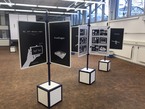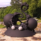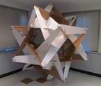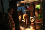
The first MPE2013 exhibition featuring the winner modules of the MPE2013 competition held in collaboration with IMAGINARY takes place from March 5 – 8, 2013 at the UNESCO headquarters in Paris.
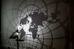
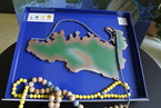
All maps are wrong!
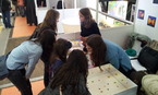
hands-on
All maps are wrong!
Licence
Credits
- Design and Implementation
Michel Darche
Regis Goiffon
Website
Related Events

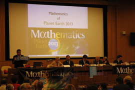
The Heidelberg Laureate Forum Foundation invites you to visit the exhibition “Mathematics of Planet Earth” at Karlstorbahnhof in Heidelberg, Germany! It runs from July 5 to Aug 2, 2015, for the first time in Heidelberg. It offers a big variety of exciting adventures for children and adults alike.

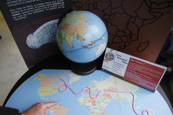
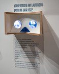
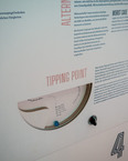
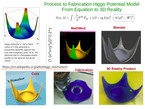
C. F. Gauss (1777-1855) showed that it is impossible to preserve all ratios of distances when drawing a planar map of a region of the Earth. But do we need to sacrifice everything?
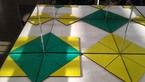
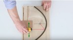
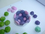
When drawing a map, one represents each point of the spherical Earth by a point on a plane, or a cone, or on a cylinder, that we can later unroll. The process is called a projection.
When the angles are conserved, the projection is called “conformal”. This is the case of the Mercator projection. This projection allows navigators to follow a straight line on a conformal map using a compass.
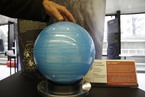
In the Peters Atlas, each point is projected horizontally on the cylinder. This process is called Lambert projection. It preserves ratios of areas and respects the relative size of countries. The projection is called “equivalent”.
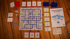
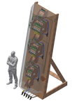
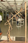
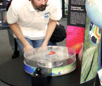
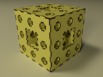
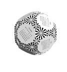
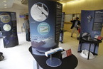
This module is part of the MPE exhibition. You can rent this module for a lumpsum fee. A detailed manual how to rebuild this module will be shared.